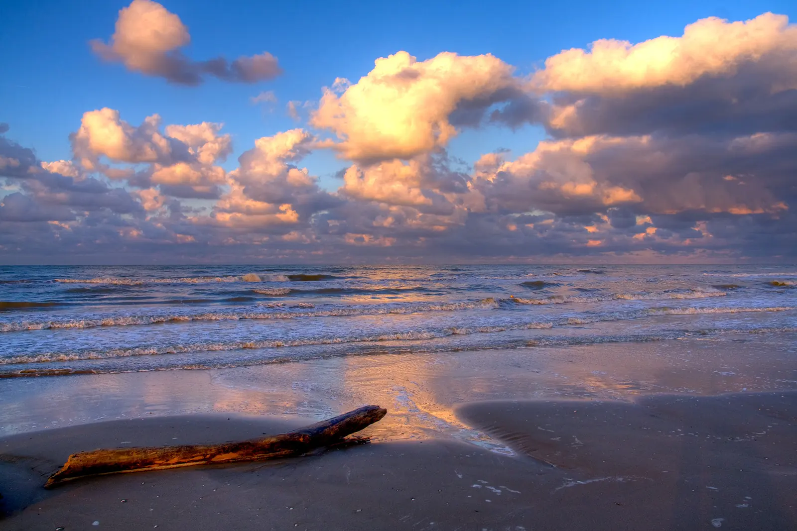
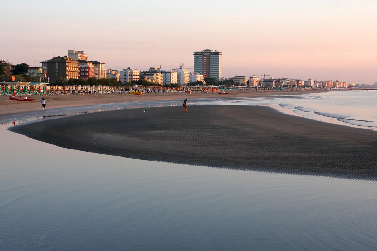
South of Cervia's canal harbour, the beach continues for around 5.3 kilometres through Cervia, Pinarella and Tagliata to the Cesenatico border. In Cervia, entrances face Lungomare Grazia Deledda; in Pinarella and Tagliata, the pinewood separates much of the sand from the built-up area. When choosing an area, this difference matters more than distance from the centre alone.
Cervia, Pinarella and Tagliata
Beach establishment numbering increases from south to north and continues across the harbour on Milano Marittima beach. Numbers are geographical references with gaps and merged numbers: they do not indicate how many establishments are present in each resort.
| Resorts | Numbers listed by the municipal portal | Access and setting |
|---|---|---|
| Cervia | 146-229 | Lungomare Grazia Deledda, towards the canal harbour |
| Pinarella | 59-131 | paths through the pinewood and the former holiday-colony area towards Cervia |
| Tagliata | 3-21 | southern section, along the pinewood towards Cesenatico |
Cervia directly links the beach with the town's seafront walk. In Pinarella and Tagliata, access along the small paths makes the transition from greenery to beach more evident. Free areas and their facilities are covered in the guide to Cervia's free beaches.
The coast and salt harbour
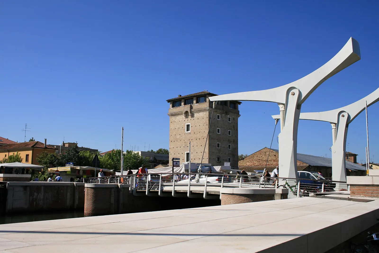
The coastline has changed over time. Torre San Michele and the Magazzini del Sale, now near the historic harbour, were once much closer to the sea. The 2018 regional coastal report describes the beach south of the harbour as an accreting coast, with submerged sandbars.
Storm surges can nevertheless alter the shore: every autumn, a protective band of sand is formed in front of beach establishments and removed in spring. From October to Easter, the beach attendants' cooperative keeps sea-access passages open and signposted along the Comune's nine kilometres of beach.
Beach establishments and assistance in the water
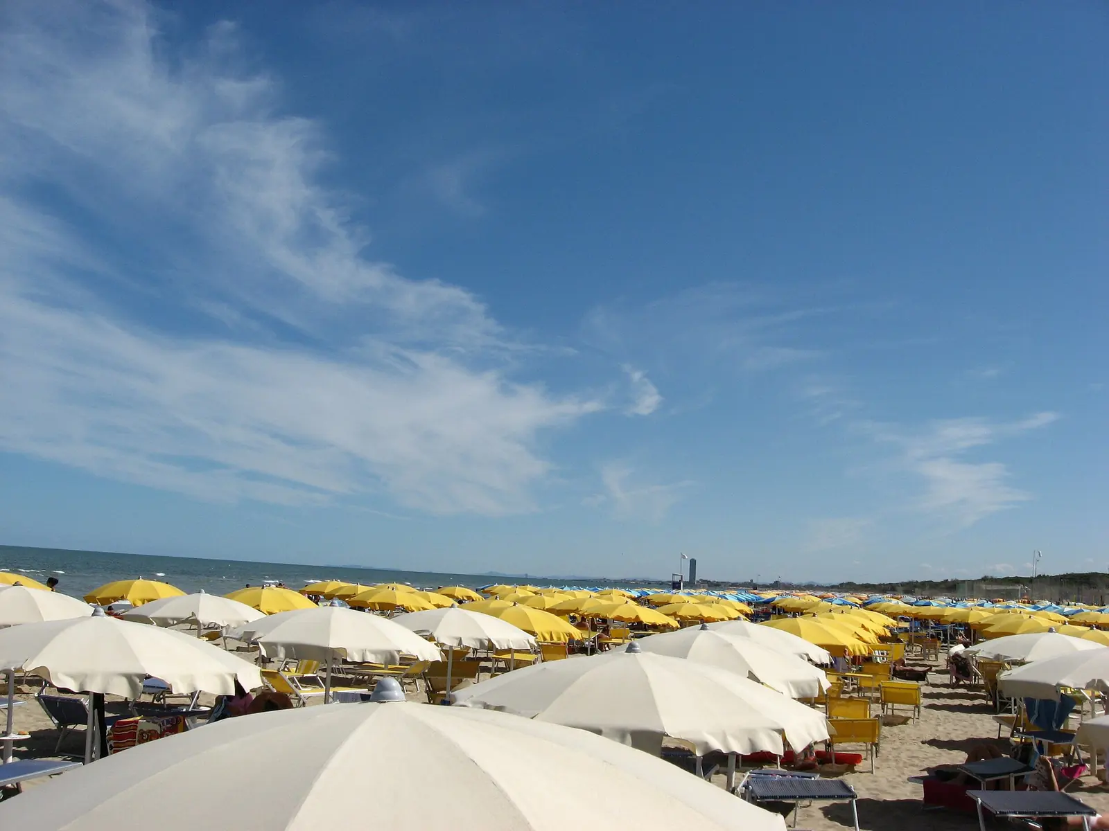
Beach establishments are spread across all three resorts. Choosing involves the set-up, toilets, street access and the route to the allocated position; in Pinarella and Tagliata, the pinewood route also matters. Parasols and sun loungers are arranged by each beach establishment.
The Comune portal describes “Un bagnino per amico”, providing a beach wheelchair and an operator to accompany disabled people into the water at participating beach establishments. Booking is through the visitor's beach attendant.
In winter, during “Mare d'Inverno”, beach establishments participating in the municipal programme can remain open with their own activities. Family alternatives to a day on the sand appear in the guide to Cervia with children.
For dogs, from 3 November to the Saturday before Easter, the bathing regulations published by the Comune allow beach access at any time, on a lead and wearing a muzzle, provided that dog waste is picked up. In summer, the regional ban instead applies, except for rescue dogs, guide dogs and dogs accompanying disabled people; dogs can use designated areas at some beach establishments.
Sources: Comune bathing regulations and ordinanza comunale 196/2025, article 10; regional bathing ordinance, consolidated text with determinazione 8398/2026, articles 1 and 4; accessed on 10 October 2026.
Bathing waters south of the harbour
In the 2026 regional classification, both the water immediately south of the harbour and the water named Pinarella, covering much of the Comune's southern coast, are excellent. The monitoring point's name does not limit the assessment to the beach opposite central Pinarella.
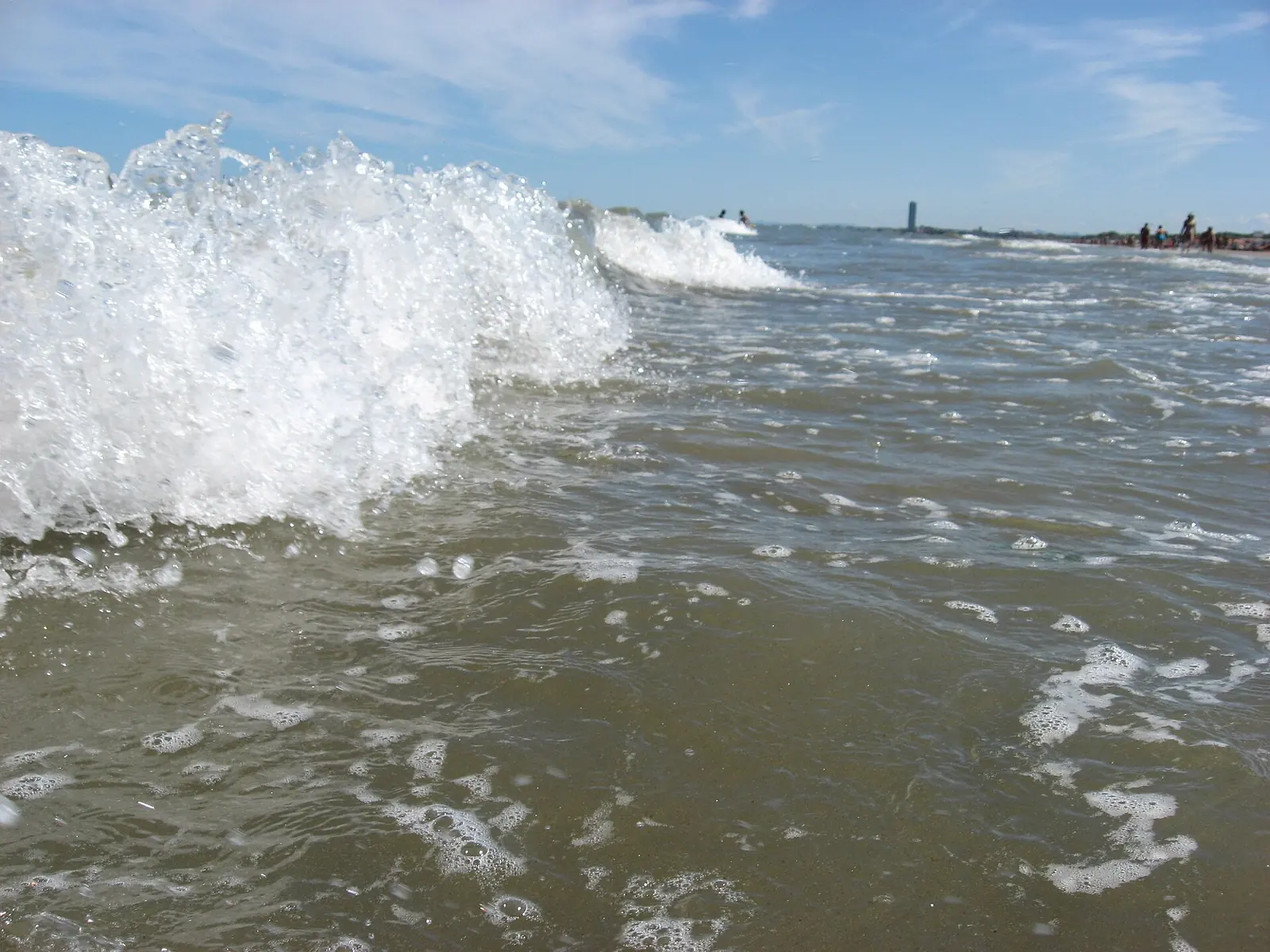
Swimming is prohibited at the harbour entrance. During the monitoring season, sampling results and any temporary bans appear on the Arpae bathing-water portal.
The pinewood and Viale Italia
The Pinarella and Tagliata pinewood covers around 24 hectares between houses and beach and has been a state nature reserve since 1977. Its edge follows Viale Italia, with small paths connecting the route to the sand. The avenue's redevelopment, completed in 2026, includes pedestrian and cycle routes and side streets towards the sea.
Longer routes, salt pans and connections with the historic centre are covered on the excursions from Cervia page.
Sources: Comune di Cervia, tourism portal and piano dell'arenile 2018; Arpae and Regione Emilia-Romagna, rapporto sul litorale al 2018; accessed on 29 September 2026. Comune di Cervia, disciplina delle attività balneari; Regione Emilia-Romagna, classificazione delle acque di balneazione 2026 (DGR 561/2026); accessed on 10 October 2026.