Gabicce Mare
The legend of Valbruna
Valbruna is the sunken Roman town placed by an old legend in the sea off Gabicce Mare, in Vallugola bay. Ente Parco del Monte San Bartolo also calls it the “Atlantis of the Adriatic”. No town has ever been found: in 1990, dives by Soprintendenza archeologica delle Marche established that the regular shapes seen on the seabed are natural rock slabs, known as “serre”. A Roman-period landing place is documented at Vallugola instead.
What the legend tells
In the version reported by Ente Parco, an entire Roman town supposedly lies beneath Vallugola's waters. Archaeologists and divers are said to have searched for years without success, and some still tell of glimpsing houses, streets, columns and temples on the clearest days.
The Piano del Parco naturale regionale del Monte San Bartolo, approved by Assemblea legislativa delle Marche through deliberazione n. 152 of 2 February 2010, opens the area's history with Valbruna itself. It defines it as a literary myth, a legend that has yet to find a basis despite research advances.
The name remains in local place names: Gabicce Monte has Piazza Valbruna.
What is documented at Vallugola
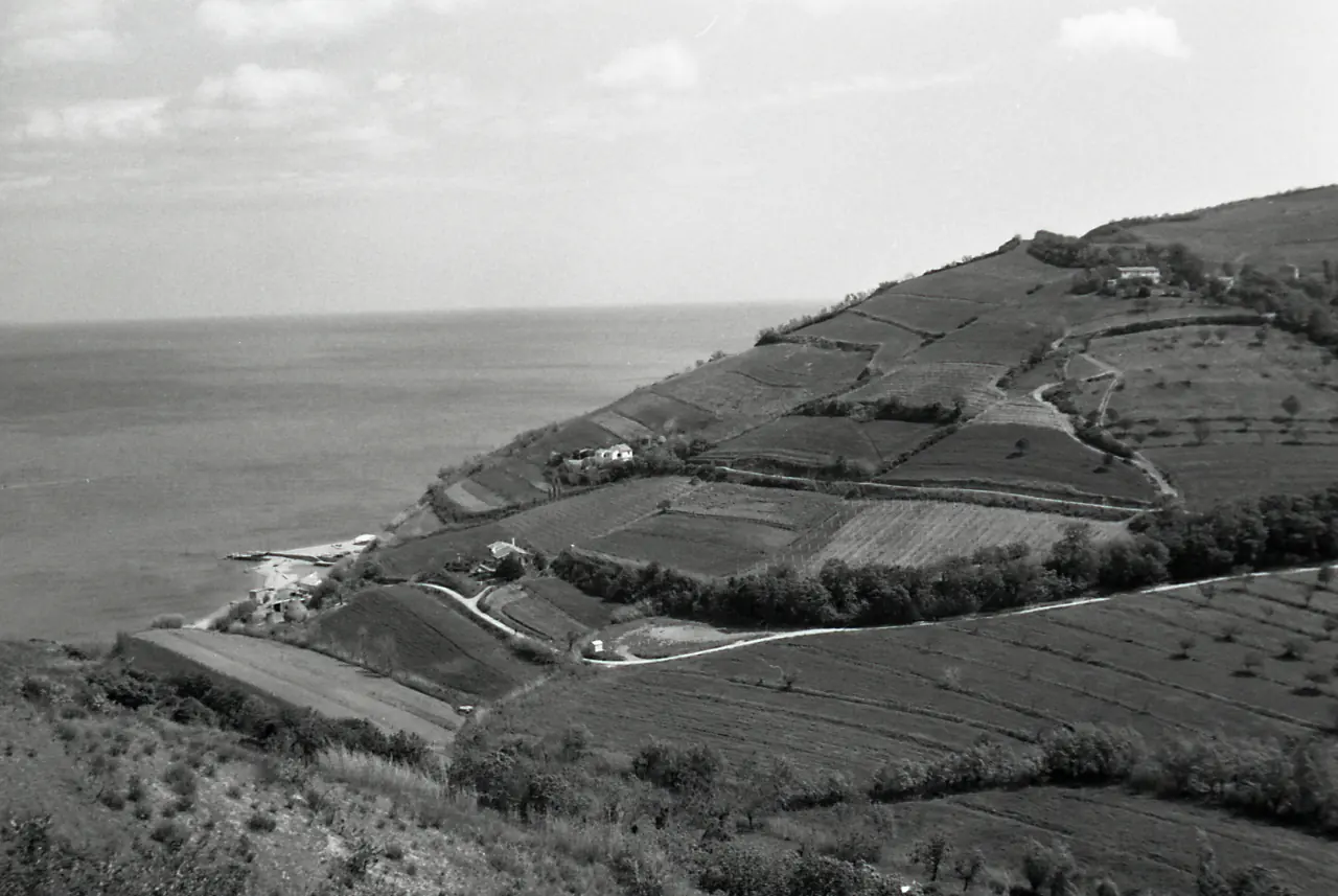
Catalogo generale dei beni culturali listings, compiled in 2019 by Soprintendenza delle Marche for Ministero della Cultura, describe a Roman-period landing place at Vallugola, perhaps older, probably with warehouses. The same area contained a Roman rural settlement with kilns and a burial ground; older flints and ceramics indicate use as early as the Neolithic and Copper Age.
The harbour remained in use for a long time. According to Piano del Parco, it served the wine trade until the eighteenth century; landslides and earth movements later changed its shape completely.
| Year | What | Source |
|---|---|---|
| 1615 | Two large dolia discovered at Vallugola | Ministero della Cultura, Catalogo generale, 2019 |
| Eighteenth century | Annibale degli Abbati Olivieri reports ancient buildings and dolia | Ministero della Cultura, Catalogo generale, 2019 |
| 1962 | An amateur diver reports cylindrical stone fragments and a possible capital to the Soprintendenza, at a depth of 3-5 m off Gabicce | Soprintendenza archive, cited in the Università di Macerata doctoral thesis, 2026 |
| 1967 | Flints, an arrowhead and coarse pottery in Vallugola bay | Ministero della Cultura, Catalogo generale, 2019 |
| 1989 | Roman amphora fragments recovered in the bay on 18 May | Università di Macerata thesis, 2026 |
| 1990 | Soprintendenza dives: seabed formations are natural rock slabs, known as serre | Università di Macerata thesis, 2026 |
| 2010 | Piano del Parco defines Valbruna as an unfounded literary myth | Regione Marche, deliberazione n. 152/2010 |
| 2019 | Catalogo listings interpret the supposed submerged walls as serre | Ministero della Cultura, Catalogo generale, 2019 |
The 1990 dives and the serre
The sea off Gabicce had been the subject of reports since 1962 and was associated with the legend of a sunken town. In 1990, Soprintendenza archeologica delle Marche began an underwater survey along the region's northern coast. One of the three areas explored was the stretch between Vallugola and Cattolica.
The dives established that the unusual-looking limestone formations are naturally formed rock slabs, known as serre. In calm seas, they can also be seen from Gabicce Monte. The 2019 Catalogo listings reach the same conclusion about the large quay walls some scholars had proposed in shallow water off the bay.
The geological explanation concerns the coast. According to a 2026 Università di Macerata doctoral thesis drawing on earlier geological studies, the coastline here has retreated 1,000-1,500 metres over the last 5,000 years, and erosion has encouraged legends of submerged settlements. The same thesis leaves two questions open: an ancient maritime landing place later destroyed by the sea remains possible, and photographs from the 1962 report, apparently showing ancient architectural pieces, still await an on-site check.
Where the legend's places can be seen
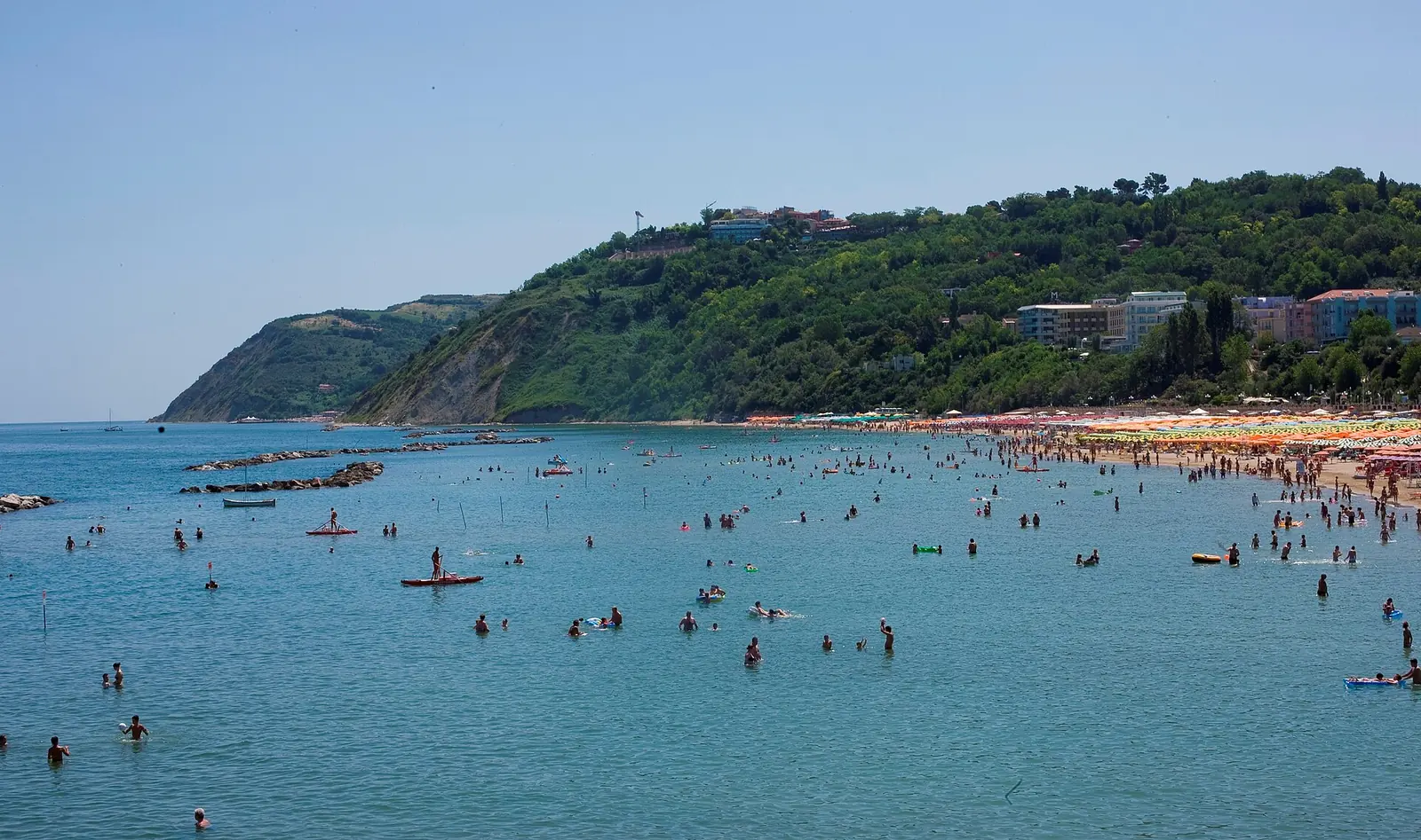
The Gabicce Monte terrace overlooks the legend's stretch of sea and, on calm days, the serre. Vallugola bay is a natural inlet between the Gabicce and Casteldimezzo headlands, with a stony beach and marina; on foot it is also reached by Sentiero Ripe di Casteldimezzo, which passes flowering broom along the cliffs in May.
Swimming is prohibited in Vallugola marina and near its eastern pier. Along the Comune di Gabicce Mare stretch from Vallugola harbour to just beyond Punta di Gabicce, Capitaneria di porto di Pesaro's 2026 bathing safety ordinance bans swimming within 50 metres of the shore beneath the unstable cliffs.
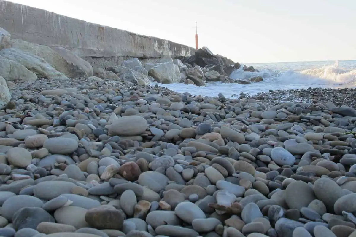
Park regulations prohibit removing rocks, fossils and archaeological finds throughout the territory, and the material forming its beaches. Cogoli, the coast's rounded pebbles, can only be collected in small quantities for educational purposes with Ente Parco authorisation. Archaeological discoveries must be reported to the Soprintendenza.
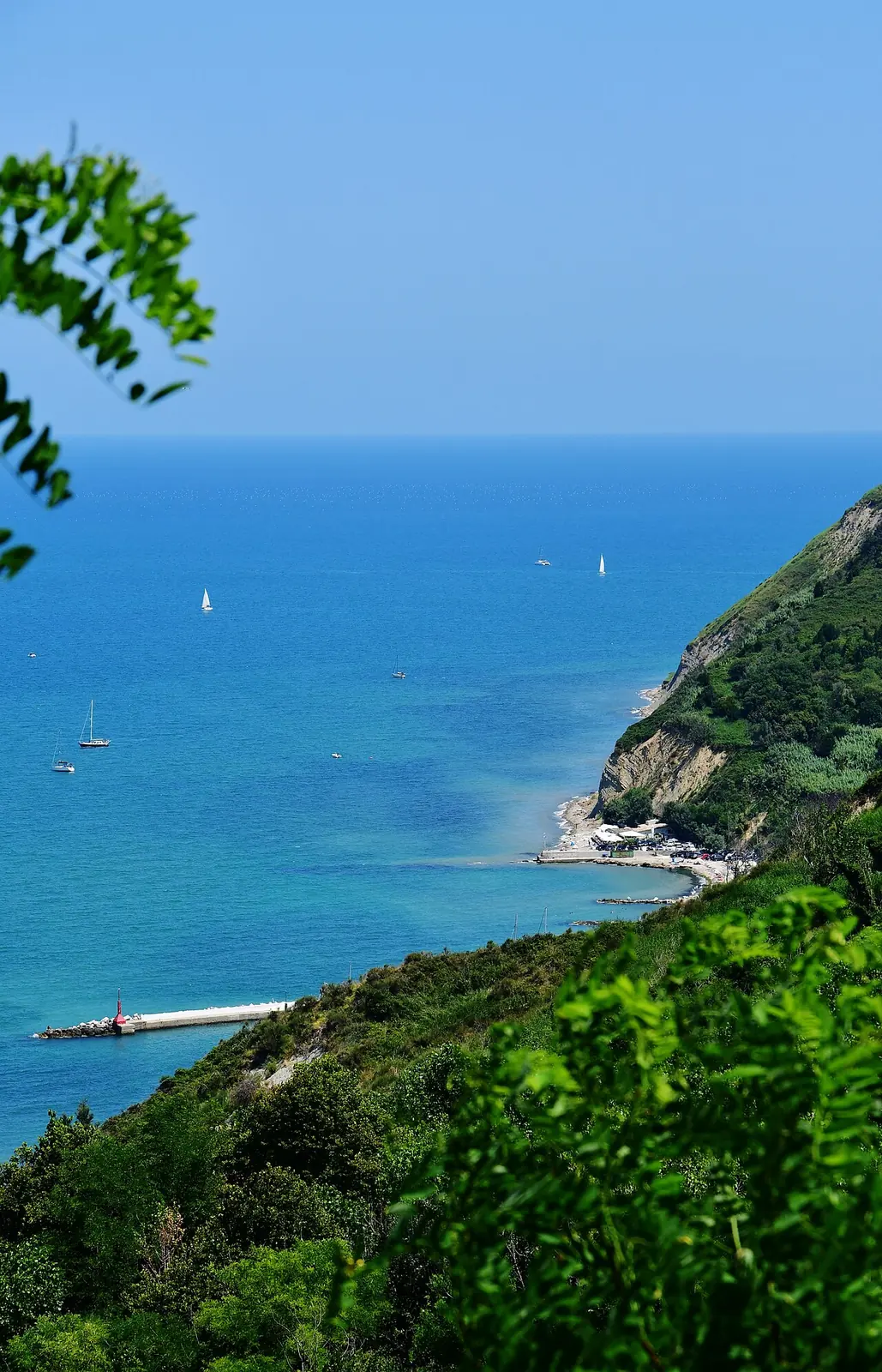
Other headland paths, Gabicce Monte and park villages are covered in excursions from Gabicce Mare. Beyond Vallugola towards Pesaro, the route reaches Fiorenzuola di Focara, with its beach below the cliffs.
Sources: Ente Parco naturale regionale del Monte San Bartolo, “Spiagge” and “Luoghi di interesse naturalistico” pages and Regolamento del Parco (2015), Articles 16, 59 and 85; Regione Marche, deliberazione dell'Assemblea legislativa n. 152 of 2 February 2010 (Piano del Parco); Ministero della Cultura, Catalogo generale dei beni culturali, listings 1100370926 and 1100370935 (2019); Università di Macerata, doctoral thesis “Il paesaggio archeologico marittimo marchigiano in età romana” (2026); Capitaneria di porto di Pesaro, ordinanza di sicurezza balneare n. 14/2026; Regione Marche, letsmarche.it portal; accessed on 10 October 2026.