The resort
At a glance
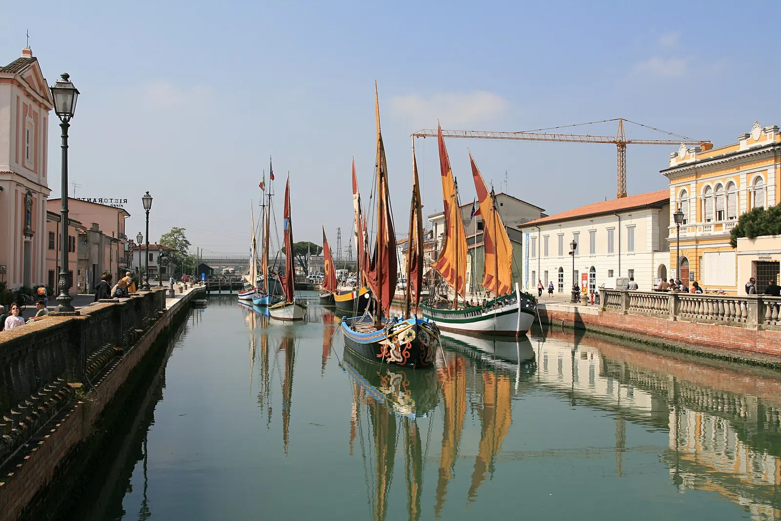
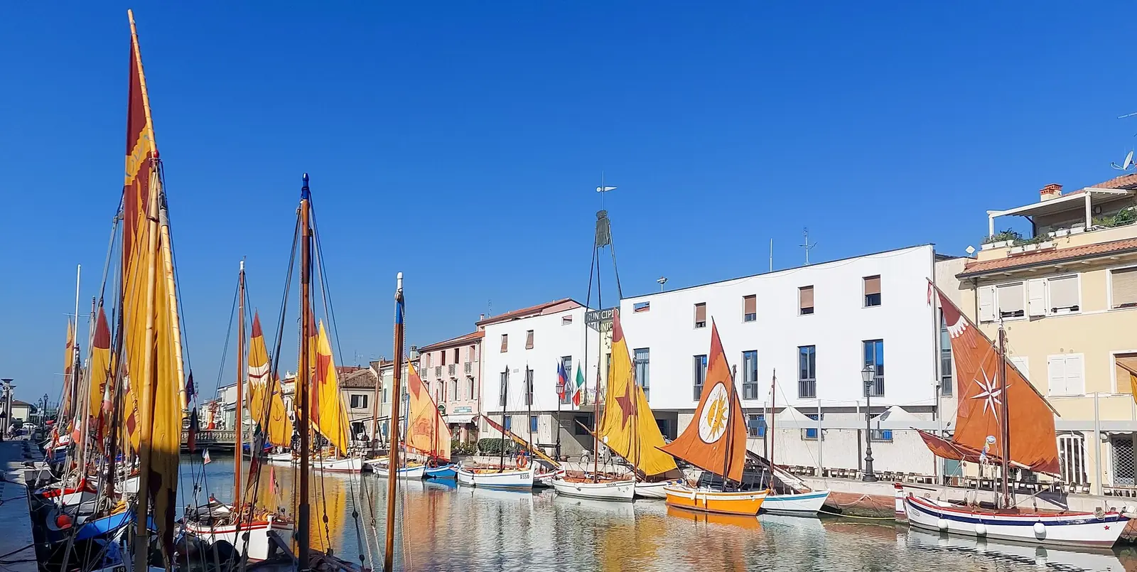
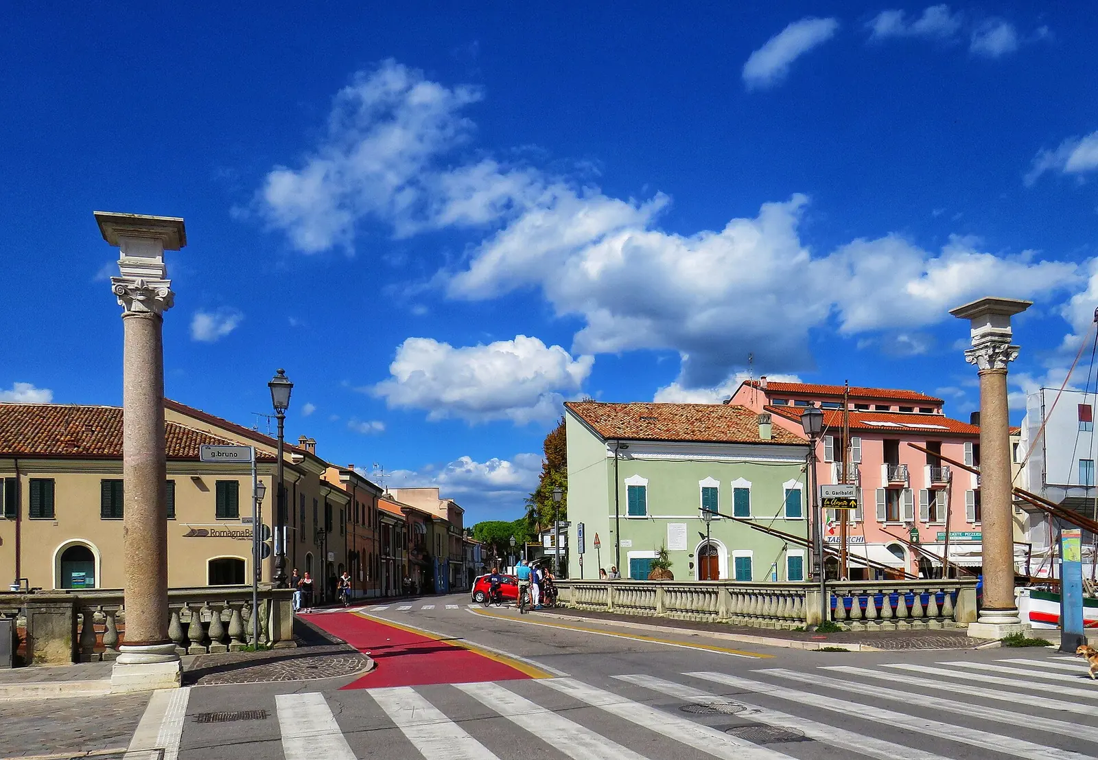
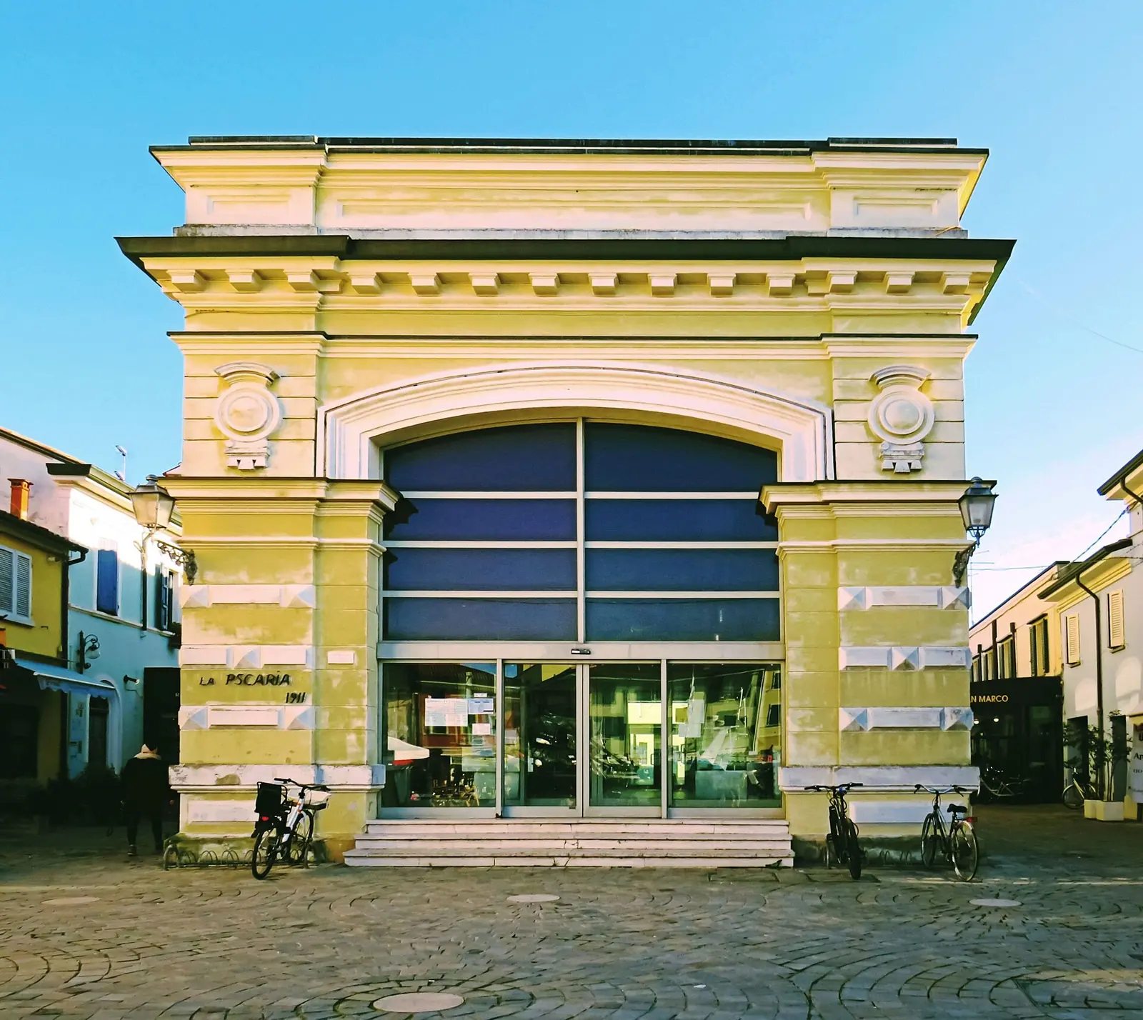
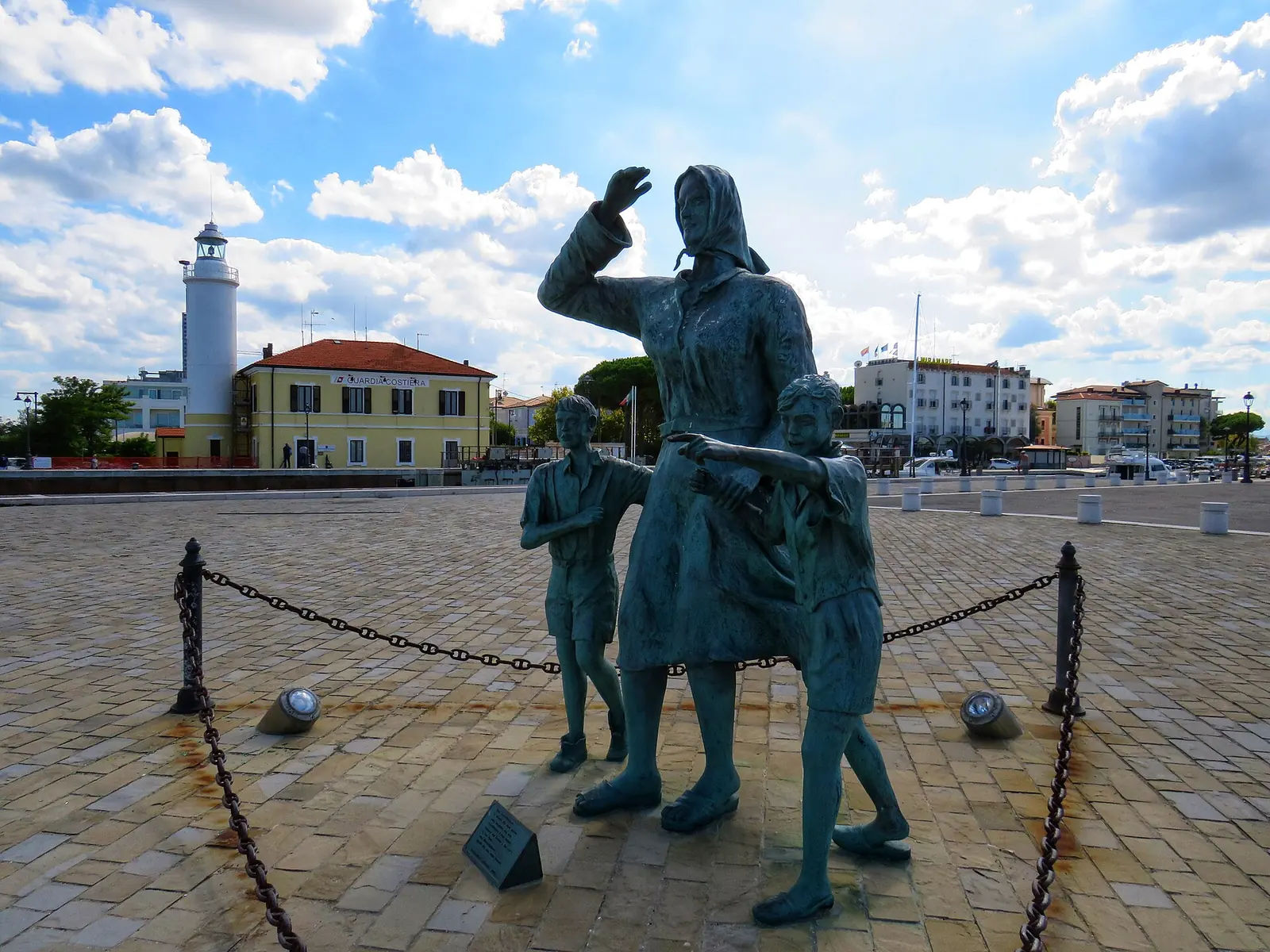
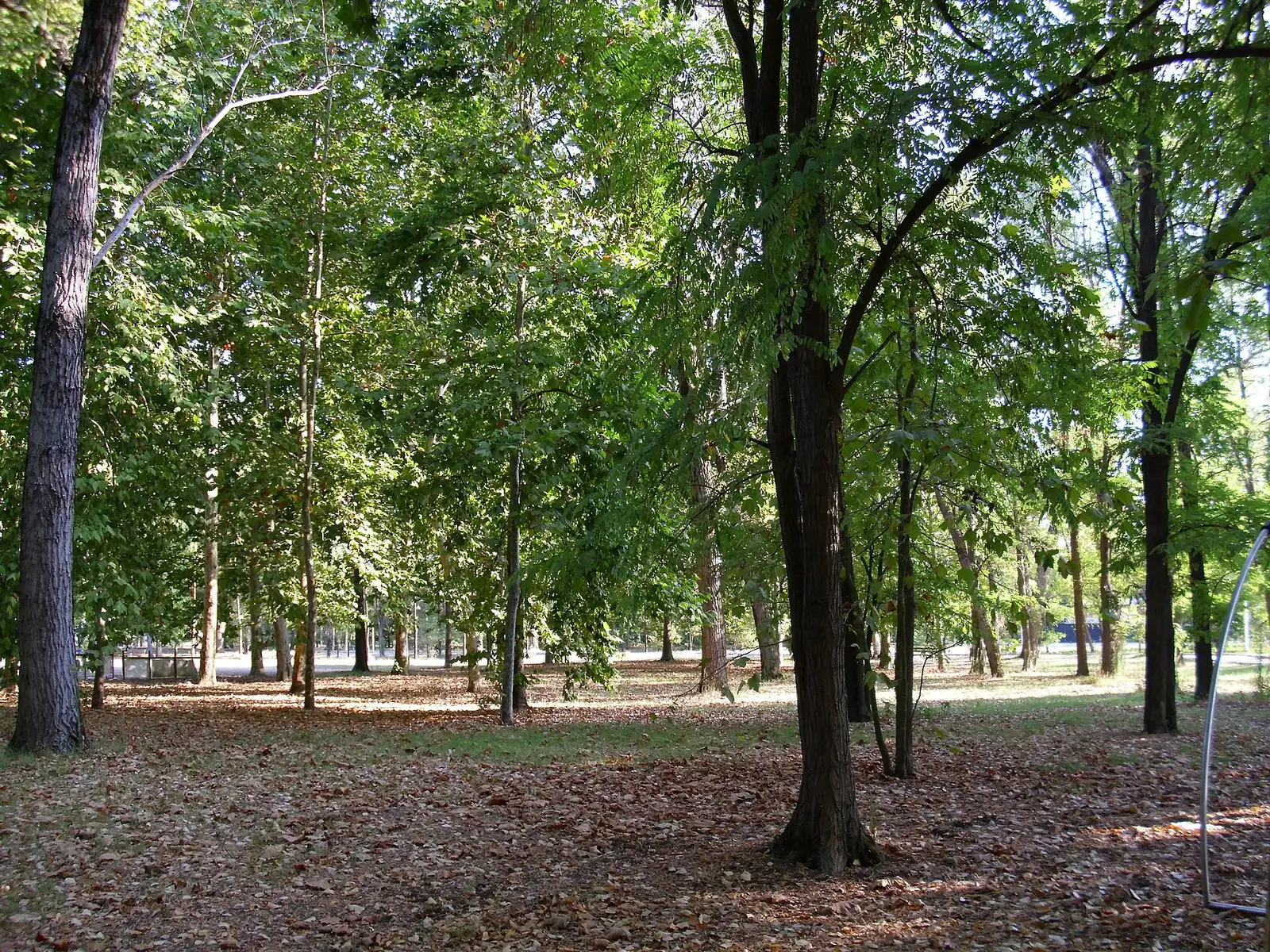
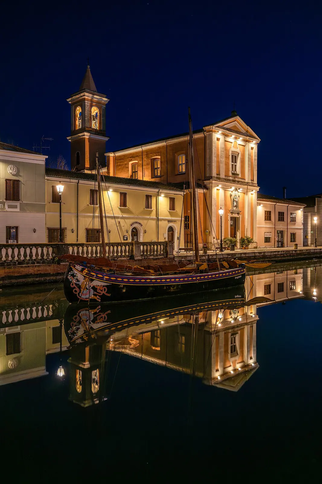
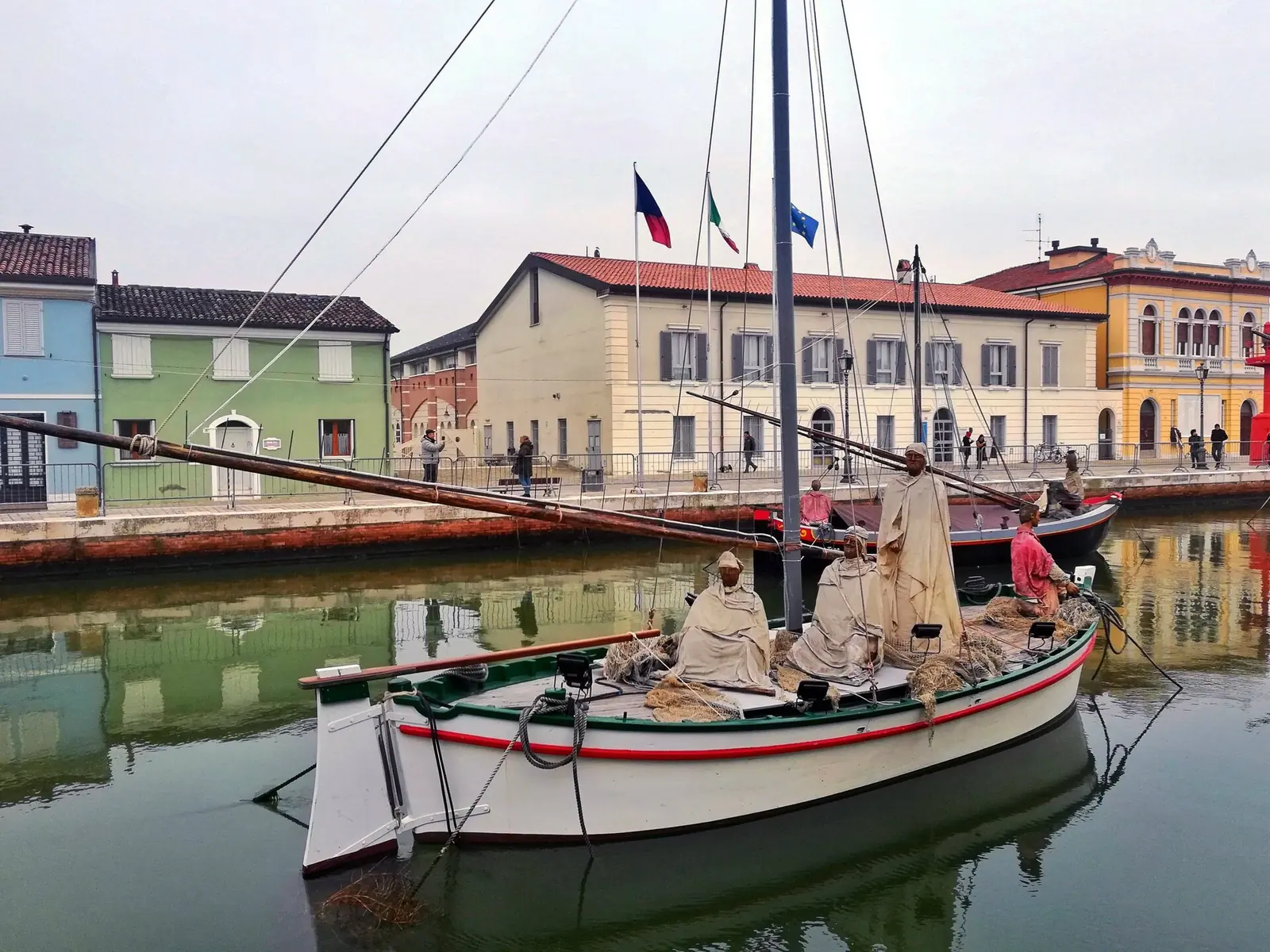
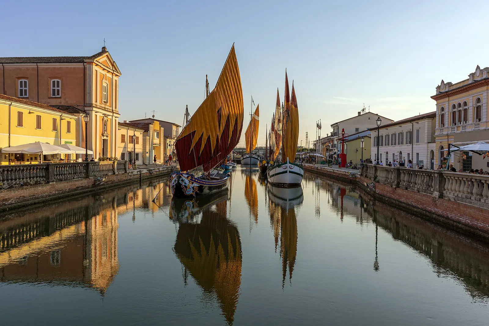
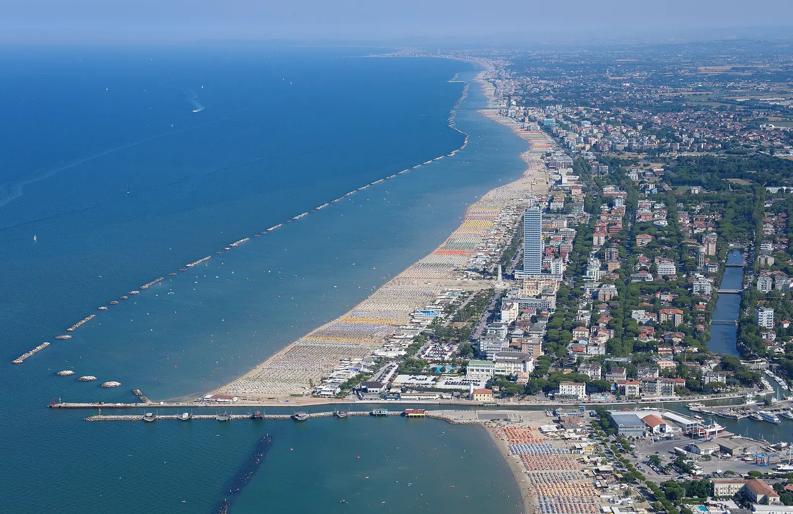
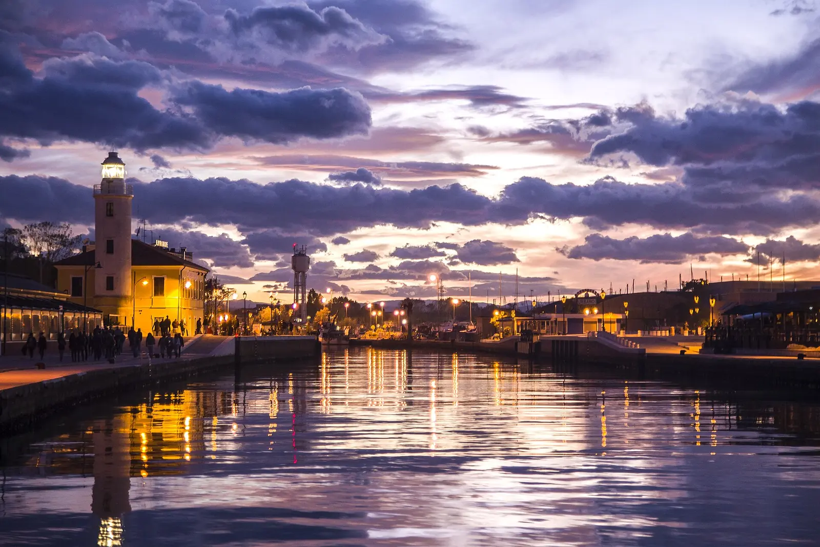
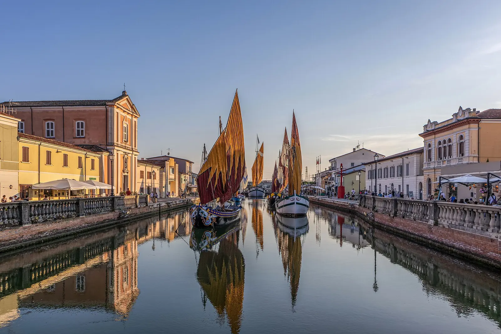
Cesenatico combines a seaside coast with the canal harbour running through its historic centre. The Museo della Marineria boats, fish icehouses and Casa Moretti give a walk a different character from the seafront. There are five seaside areas: Zadina and Ponente north of the harbour, and Levante, Valverde and Villamarina to the south. Parks and cycle routes allow the beach to alternate with green spaces and the hinterland.
- Municipality
- Cesenatico, Provincia di Forlì-Cesena, Emilia-Romagna
- Population
- 26,042 residents as at 1 January 2026 (Istat, estimate)
- Area
- 45.25 km² (Istat)
- Location
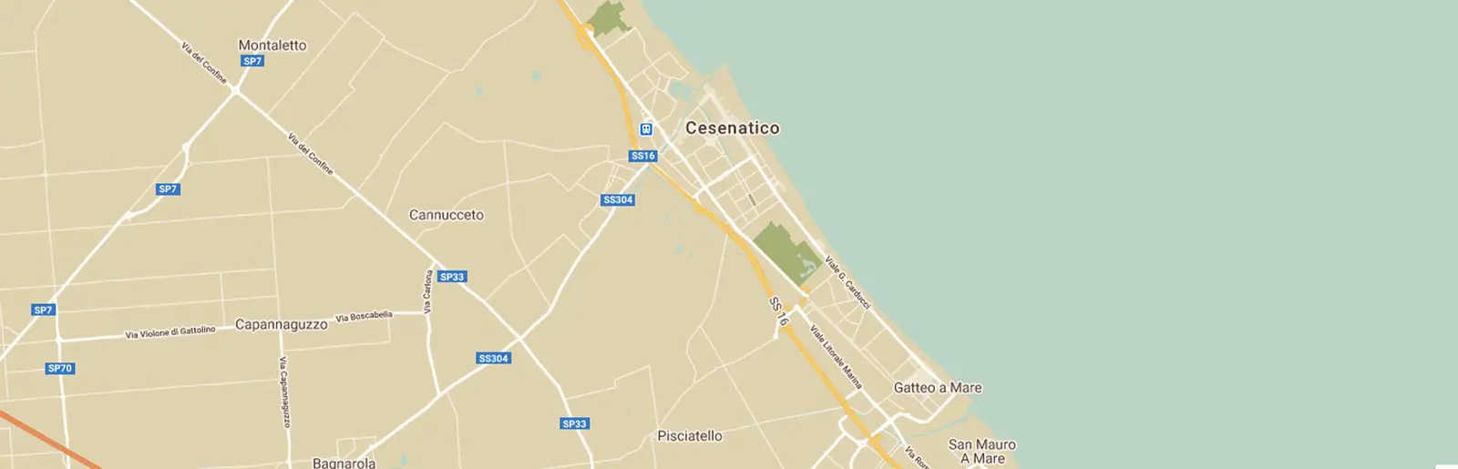
- “between Ravenna and Rimini” according to the Regione; borders Cervia, Cesena, Gambettola and Gatteo
- Seaside areas
- Zadina, Ponente, Levante, Valverde and Villamarina; the canal harbour separates Ponente to the north from Levante to the south
- Localities inland of the railway
- Sala, Madonnina-Santa Teresa, Villalta, Bagnarola, Borella and Cannucceto, according to the Comune's Piano urbanistico generale
- Patron saint
- San Giacomo Apostolo, 25 July
- Beach
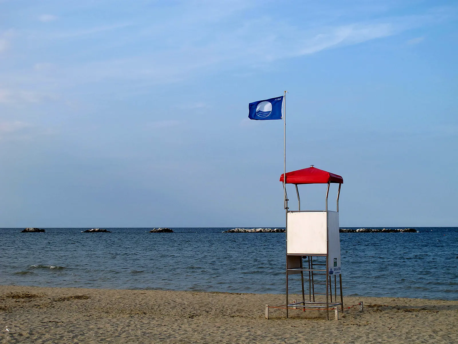
- about 7 km; ten bathing waters in 2026; 2026 Blue Flag, the 35th, extended to all five areas
- Motorway
- A14, Cesena exit from the north; Rimini Nord or Valle del Rubicone exit from the south
- Train
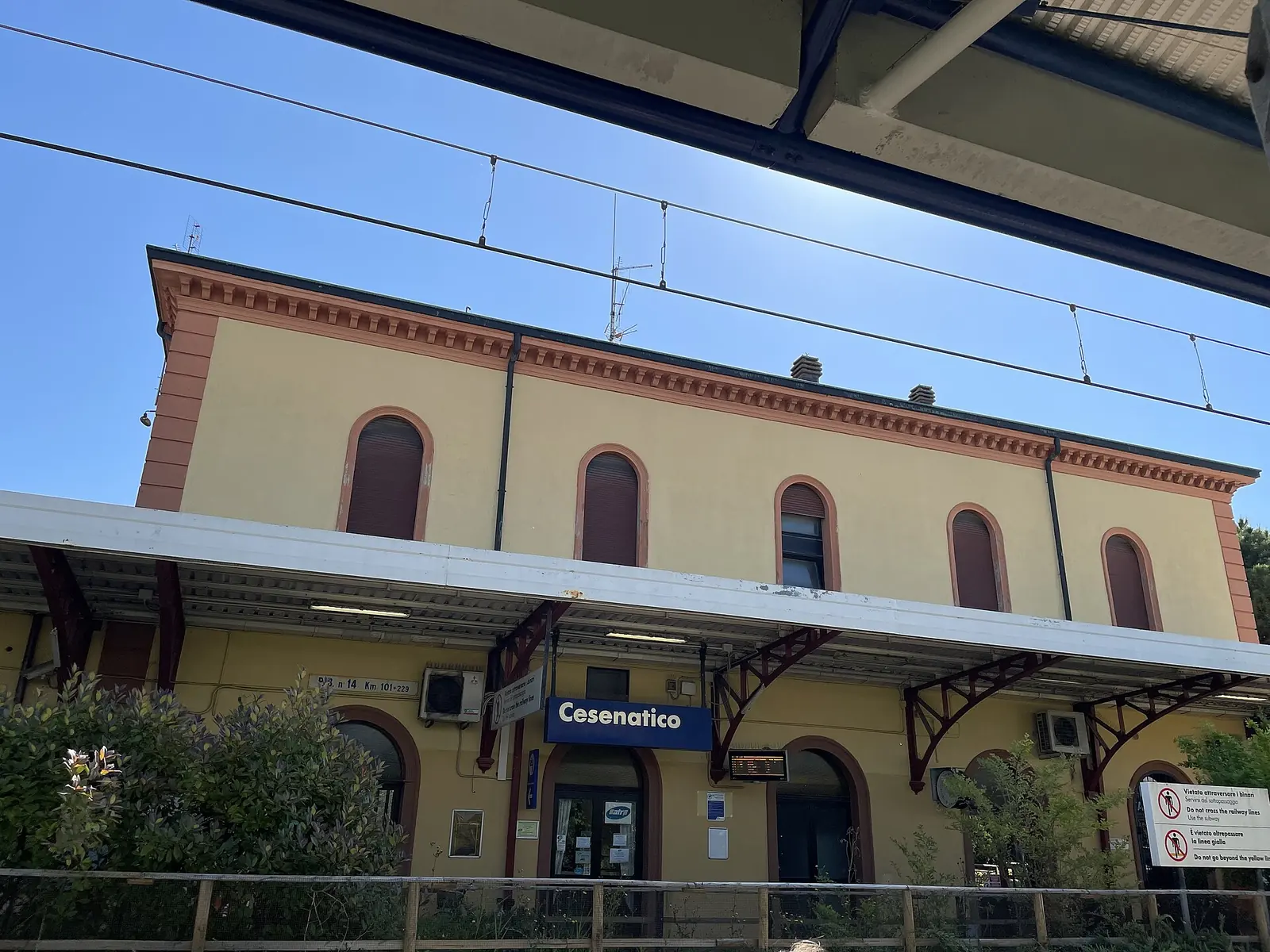
- Cesenatico station, on the Rimini-Ravenna line
- Local transport
- Start Romagna, route 94/94A to Cesena, routes 1, 2 and 3 within the town
- Tourist information
- IAT at 112 Viale Roma, in Palazzo del Turismo
Sources: Istat (population as at 1 January 2026, area, neighbouring municipalities); Comune di Cesenatico (Piano urbanistico generale, news of 14 May and 20 July 2026, tourism portal, ZTL page); Regione Emilia-Romagna (Cesenatico listing, DGR n. 561/2026); RFI; Start Romagna. Accessed on 2 October 2026.